


AirMap for Drones app for iPhone and iPad
Developer: AirMap, Inc.
First release : 01 May 2016
App size: 150.27 Mb
AirMap is the leading global provider of aeronautical data & services to unmanned aircraft, or drones. Use AirMap to maintain situational awareness, request digital authorization, get traffic alerts, & more.
AirMap offers these features and more:
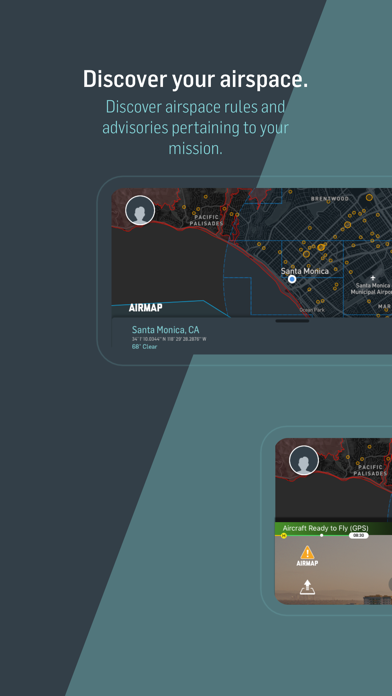
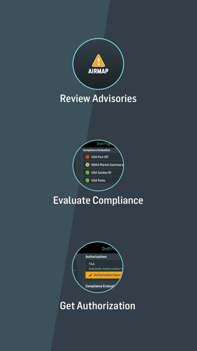
- Can I fly here? Get real-time feedback of airspace rules and conditions pertaining to your flight specifications, with national rulesets for 20 countries, including Canada, Germany, Japan, New Zealand, United Kingdom, and the United States.
- Toggle between multiple map styles
- Discover airspace rules and advisories by searching for a location or panning and zooming AirMaps responsive vector maps
- Create and manage your pilot profile and UAV aircraft
- Plan a flight path to specific duration, altitude, and airspace requirements
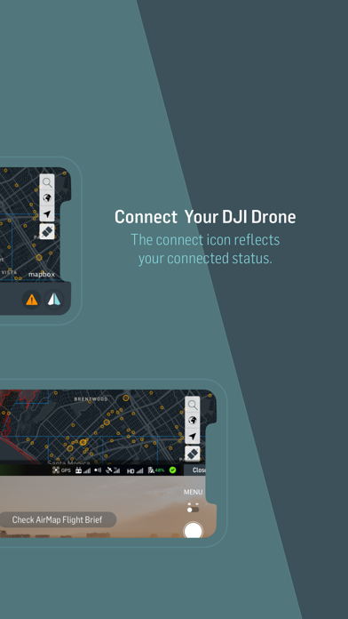
- Connect to any supported DJI drone to fly and toggle camera settings directly from the AirMap app
- Request digital authorization for commercial operations in LAANC-enabled U.S. controlled airspaces
- Send digital flight notice to participating U.S. airports
- Get real-time traffic alerts for nearby manned aircraft
- View publicly-shared flights happening around the world